By Tom Kloster, President, Trailkeepers of Oregon Fires in the Columbia River Gorge are as old as the place itself. Early white settlers called it the “Devil’s Wind” when summer drought combined with the wind-tunnel effect of the…
By Steve Kruger, Executive Director, Trailkeepers of Oregon
Work in the Columbia River Gorge has changed dramatically for Trailkeepers of Oregon since September 2, 2017. On Labor Day weekend we saw the Eagle Creek Fire race across some of the most highly prized scenic sites and hiking terrain in Oregon. Over the following weeks the fire grew to encompass nearly 49,000 acres, leaving a mosaic pattern of different severities of burned landscape and closing 121 miles of trails.
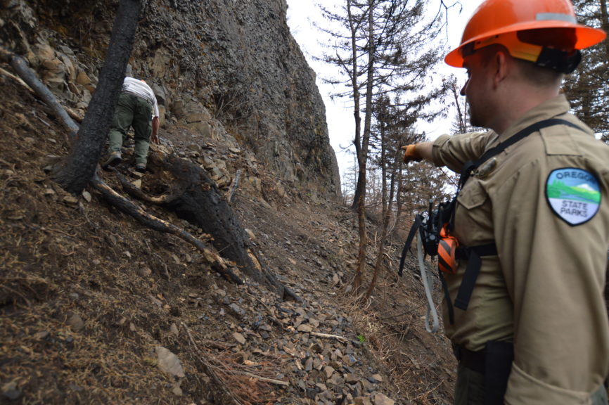
Oregon State Park Ranger Jamen Lee points to where the trail grade for the Upper McCord Trail has been overcome by debris and landslides from the Eagle Creek Fire during initial post-fire trails assessments in October 2017. Photo by Andrea Berkeley.
In mid-September TKO formed the Gorge Trails Recovery Team with nonprofit partners who have had a lasting relationship with Gorge land managers and trails. TKO and Friends of the Columbia River Gorge, Pacific Crest Trails Association (PCTA), and Washington Trails Association (WTA) have amassed a still-growing list of volunteer sign-ups that has topped 4,000 willing participants. Our group has been working together to offer events to develop skills and maintain support for when the time comes to help bring back our Gorge trails.
We’re continuing to meet frequently with land managers to plan our next steps in assessing, monitoring, and stabilizing trails affected by the fire. Many trails will continue to incur damage during the winter. We plan to schedule work parties in late winter and early spring of 2018.
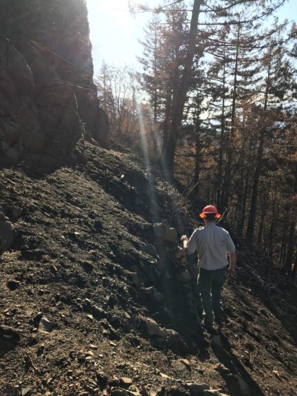
State Park Ranger Scott Geren navigates damaged trail switchbacks on the Elowah Falls Trail during Oregon State Parks’ initial post-fire trails assessment in October 2017. Photo by Jamen Lee.
Some updates:
- A soil burn severity map has been released by the US Forest Service’s Burned Area Emergency Response (BAER) team. It shows that only fifteen percent of the 49,000 acres was severely burned. Meanwhile, fifty-five percent of the acreage had low or no effects of fire damage.
- Out of the 121 miles of closed trails, the US Forest Service and Oregon State Parks staff have performed initial assessments on over 30 miles. We are challenged by how interconnected this system is. Opening one area unaffected by fire may put hikers at risk by enabling them to access other areas that should not be entered due to fire damage.
- TKO is seeking funding to build our tool supply and hire additional staff and interns to coordinate volunteer work on Gorge trails in spring 2018. These positions will:
- Coordinate and lead the thousands of volunteers interested in helping with trail projects on Oregon State Parks and US Forest Service lands
- Support special events and trainings for engaging volunteers who can lead TKO trail crews
- Co-lead and coordinate youth crews and contractors hired by our land managers and nonprofit partners to perform technical projects
- In January 2018, a team of TKO crew leaders and Oregon State Parks staff will assess, monitor and maintain:
- Ainsworth State Park trails and nearby sections of Gorge Trail #400
- Historic Columbia River Highway State Trail and paralleling sections of Gorge Trail #400
- Lower portions of Angel’s Rest Trail #415
We’ve also agreed with Oregon State Parks to do regular sweep-and-scout hikes along newly opened trails at Latourell and Bridal Veil falls, which will be getting higher than usual winter use. We will be looking to recruit and train volunteers in assessment activities for these and other trails that open in the fire-affected area. Meanwhile other trail systems that are open in and around Portland, Mount Hood, and the Gorge are seeing major increases in use and will need attention and care. We hope to get some of the passion for fire recovery channeled toward these other trail systems as well.
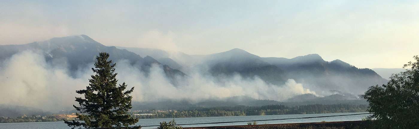
A view of Benson Plateau from State Route 14 on the Washington side of the Columbia during the fire. Photo courtesy of US Forest Service.
Over the coming months, look for announcements of workshops to train volunteers in special skills, and an apprenticeship program to train new volunteer crew leaders. Stay tuned as well for a new Gorge Trails Recovery Team Facebook page that will function as a clearinghouse for upcoming events of the partnering nonprofits.
The Eagle Creek Fire has caused heartache to Gorge visitors as well as economic trauma to the communities around the fire-affected area. The collaboration of land managers and nonprofit partners over the last few months speaks to the importance of our outdoor experiences and suggests what a special place the Columbia River Gorge is to people in Oregon and beyond.
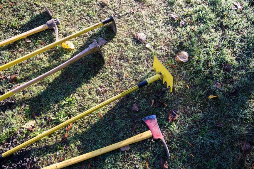
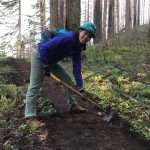
Some trail work tools: pick mattock, long-handled hoe, green grubber, McLeod, Pulaski. Photo by Megan Zabel Holmes.
We are engaged in a movement to encourage people to be not just recreational users but also stewards of our outdoor places. TKO will be a dynamic partner in the important work of bringing our Gorge trails back and making them better than they’ve ever been. Become a Trailkeeper and join in the work—get involved and give back today!
Here’s how you can help now:
- Become a member of Trailkeepers of Oregon
- Sign up for a trail work party or workshop
- Consider an end-of-year donation through our participation in Willamette Week’s Give!Guide